June 2020
Photo Documentation:
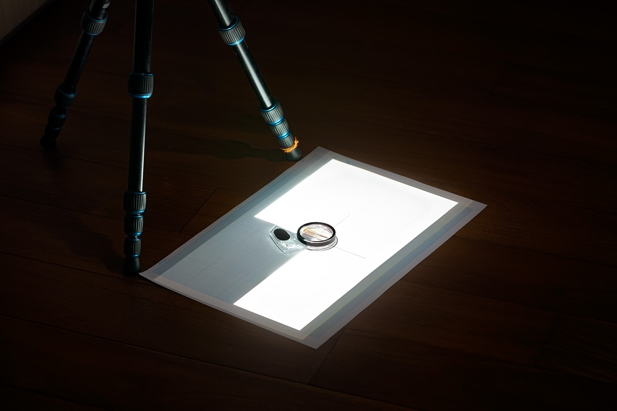
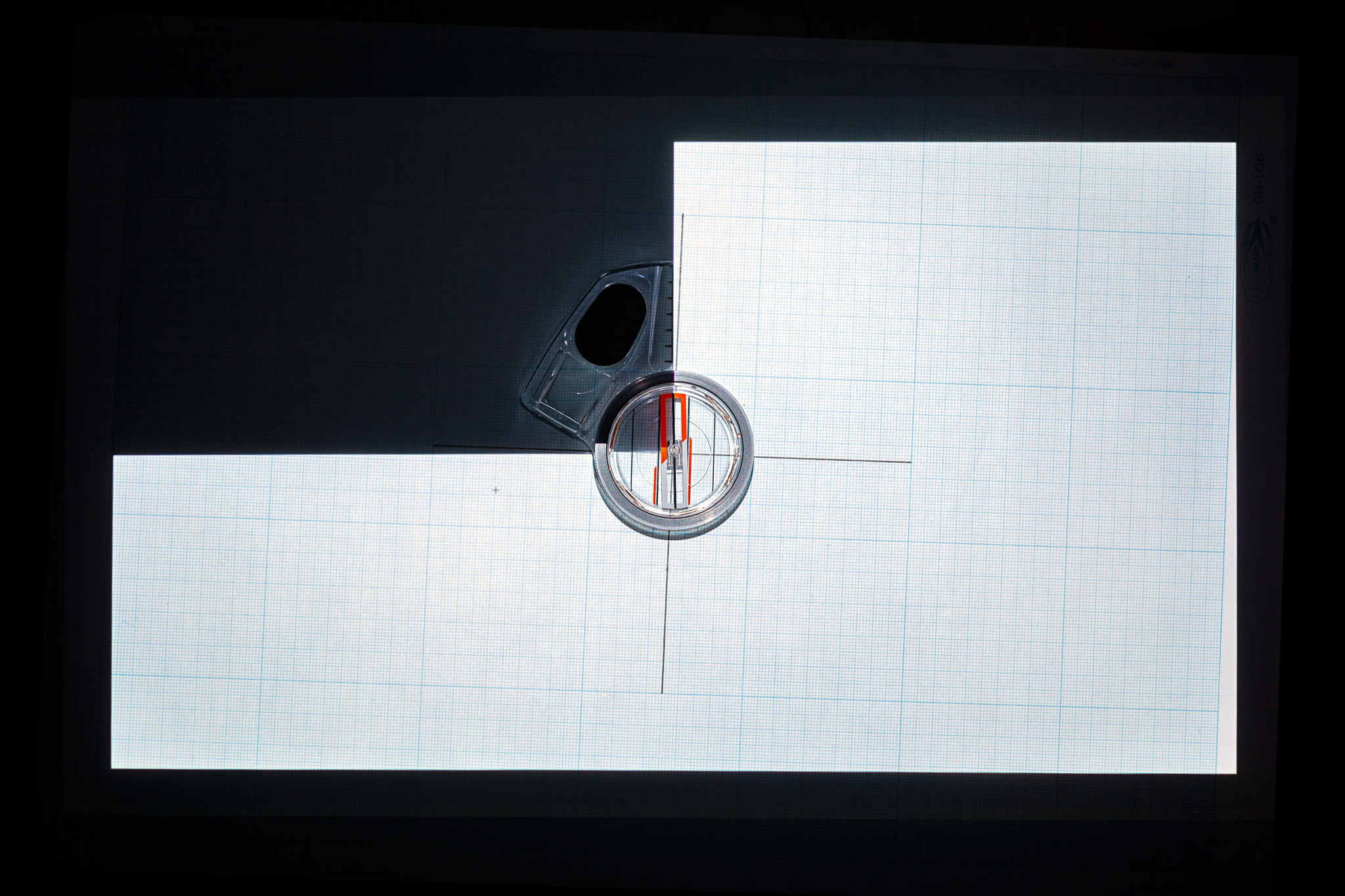
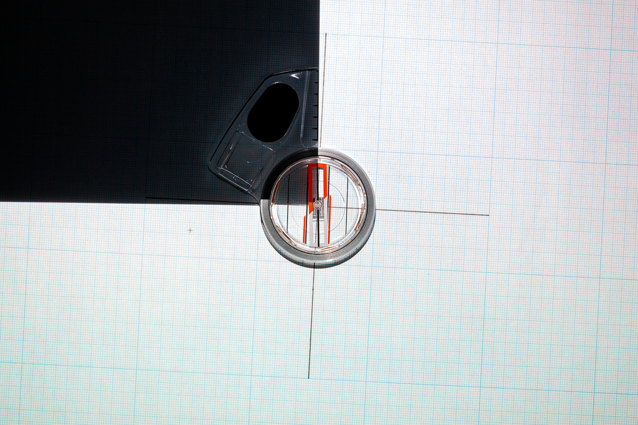
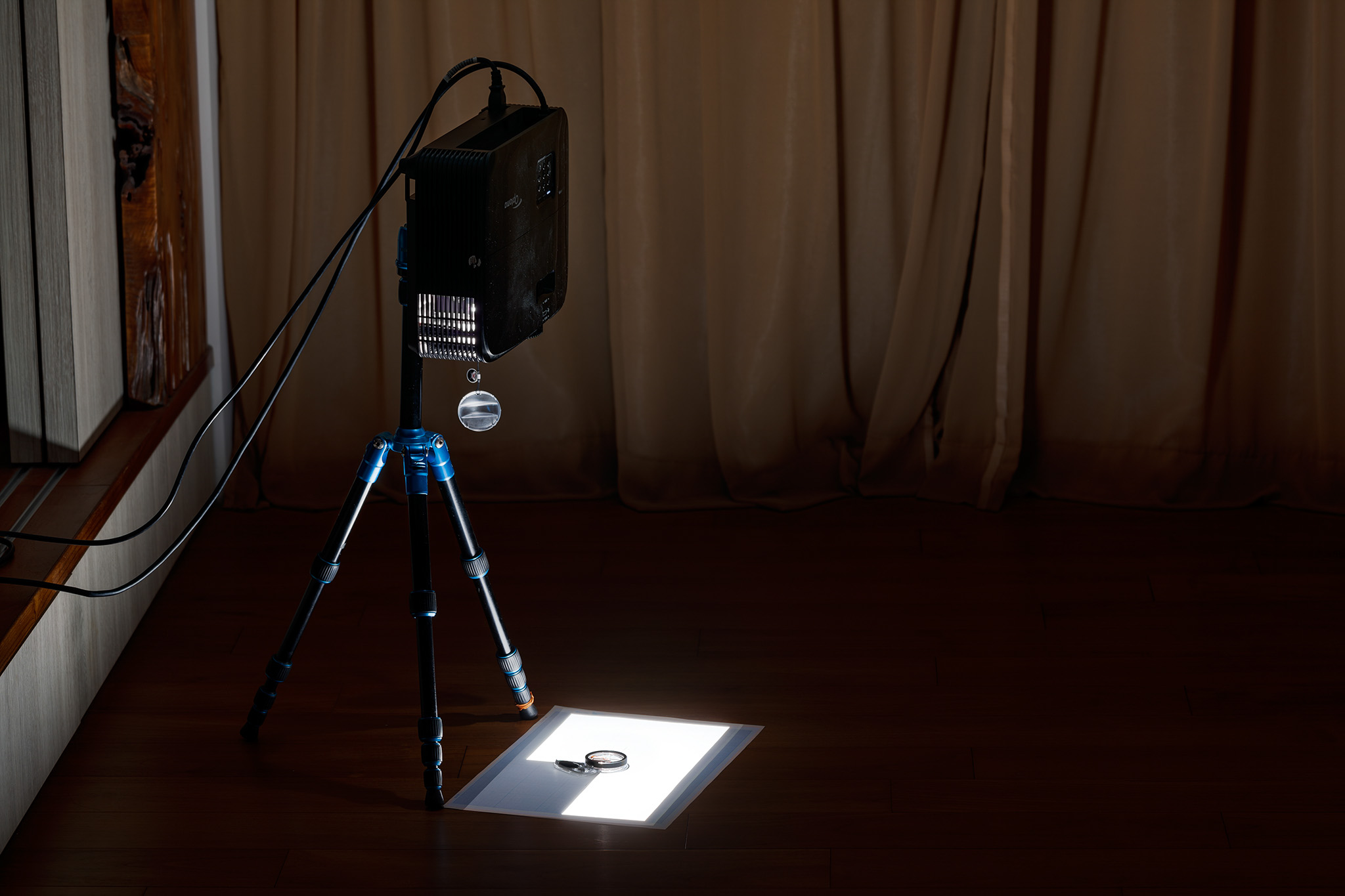
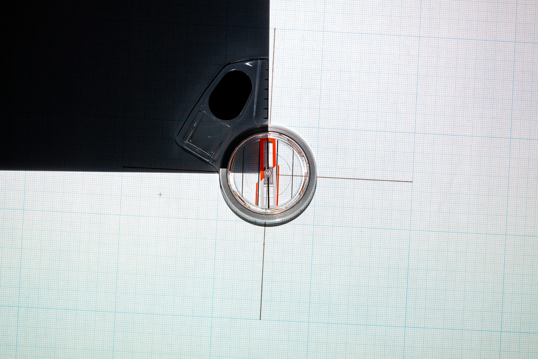
By projecting a geometrical image onto a grid paper, both of which are constantly realigned with a compass, the bearing discrepancy between the truth north (of the grid paper) and the magnetic north (of the projected image) is changing in according to their location (around the world) in time.